Raja bilal cni
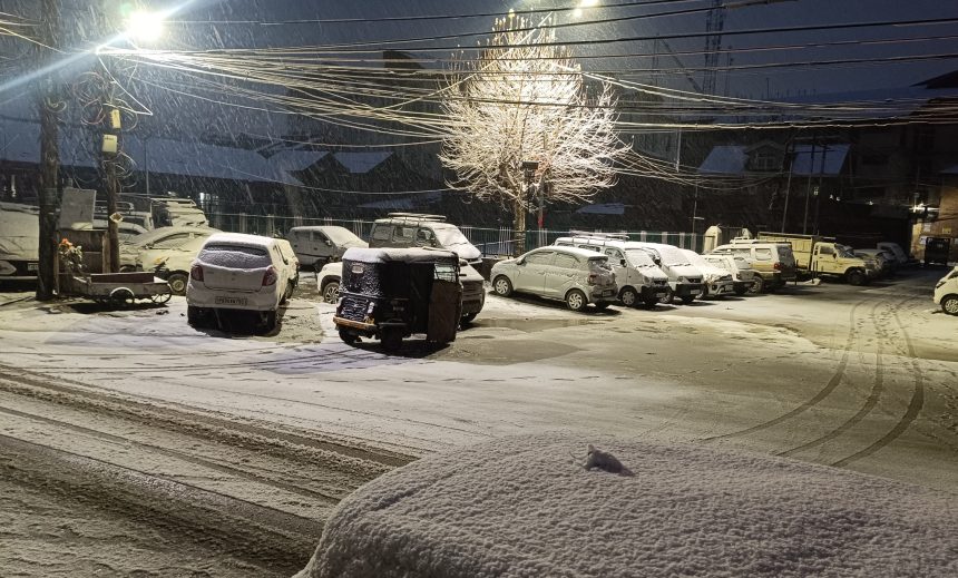
SRINAGAR, cni: A fresh western disturbance is expected to affect Jammu and Kashmir from January 28, bringing light rain and snowfall at a few places, while a more intense spell of snow is likely between February 1 and 2, the Meteorological Department (MeT) said on Tuesday.
According to MeT officials, the current weather system will remain active through January 28 but is expected to move out of the region by Wednesday morning. “The impact will remain limited, with light precipitation at isolated places. By tomorrow afternoon, the system will completely exit Jammu and Kashmir,” an official said.
However, MeT warned that another strong disturbance will approach the region at the beginning of February, triggering widespread snowfall. “Between February 1 and 2, there is a high probability of heavy snowfall across large parts of the valley, particularly from Kulgam to Kupwara,” the official added.
MeT data shows that Gulmarg has already recorded a snow depth of about 31 centimetres at lower elevations, suggesting that upper reaches could receive between 1.5 to 2 feet of snow during the upcoming spell.
Authorities have issued an advisory urging people to avoid high-altitude areas after the snowfall due to increased risk of avalanches. “In the 48 hours following heavy snowfall, chances of snow avalanches rise significantly. Residents in vulnerable zones should not venture out unnecessarily,” MeT said.
Travellers, especially those planning to use the Srinagar–Jammu National Highway, have been advised to follow official traffic updates and police advisories before starting their journey. Cni
